Active · 2026 - presentRuns locally when presenting
Trip Presenter
A trip presentation for a TV or projector. A car drives along the real GPX track on a 3D map, and each stop shows a description of the place and photos. Controlled with a keyboard or a presentation clicker.
- Role
- Design, development and data preparation
- For
- Family and friends after a trip
- Type
- Full-screen web app
- First trip
- Northwest USA 2025 – 24 stops, 5,802 km
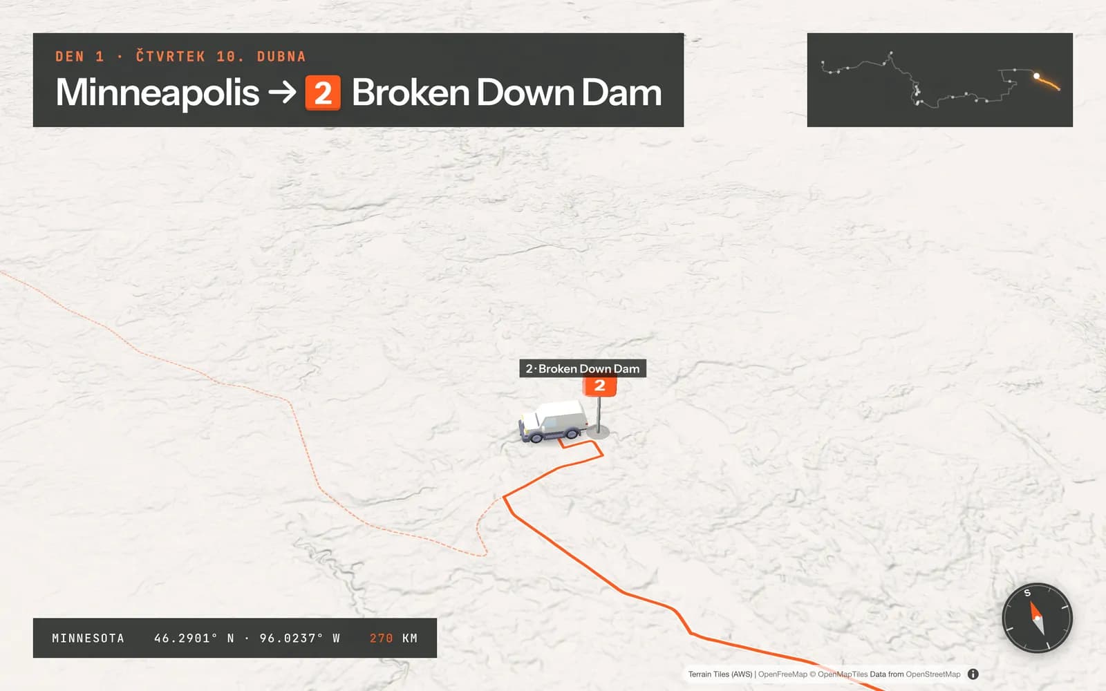
Why
After a photography trip across the USA I wanted to show the photos as more than a slideshow. The map gives them context: where we drove, how far it was and what lay between the stops.
The hard part
Combining the GPS track, photo timestamps and the map so the drive looks smooth and still matches reality. The track is snapped to roads before presenting and each stop is attached to it by time.
What it does
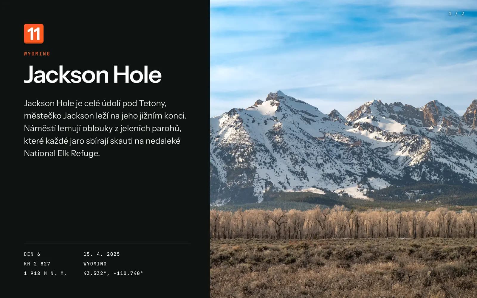
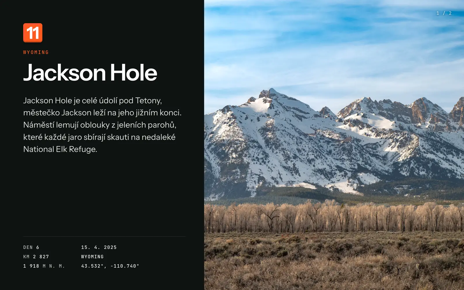
Stops – a description of the place, day of the trip, altitude and photos to click through 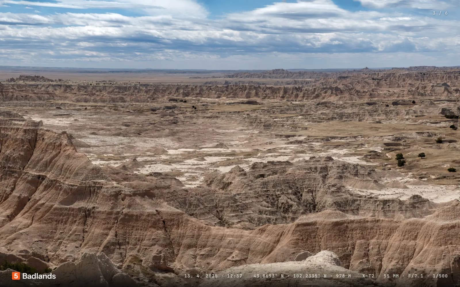
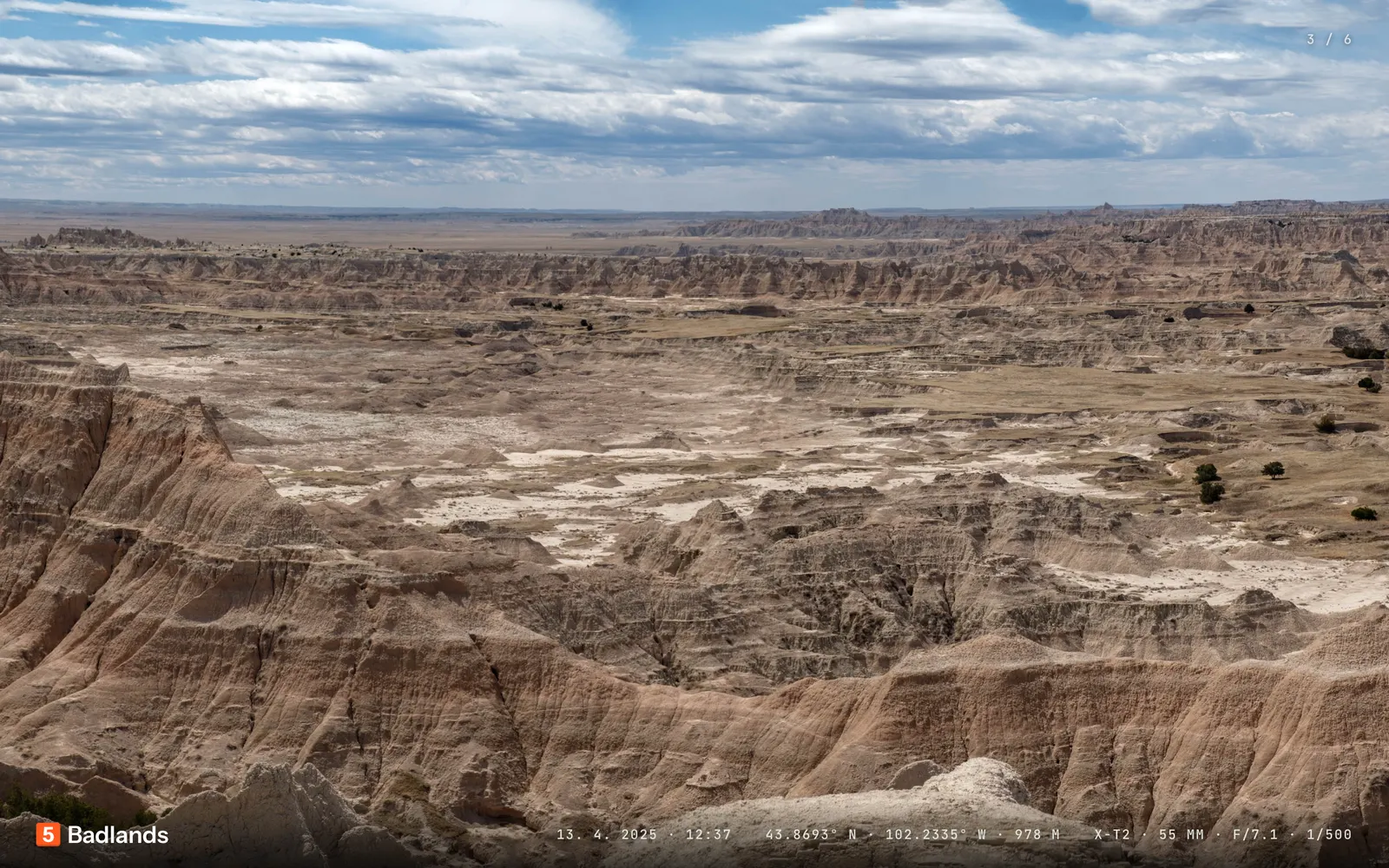
Photos – full screen with date, location and camera settings 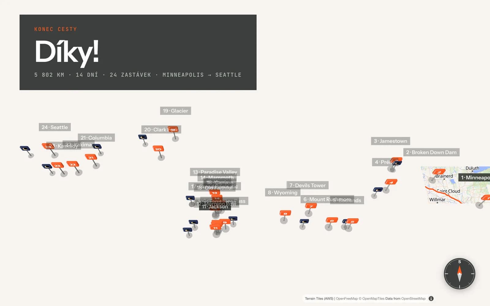
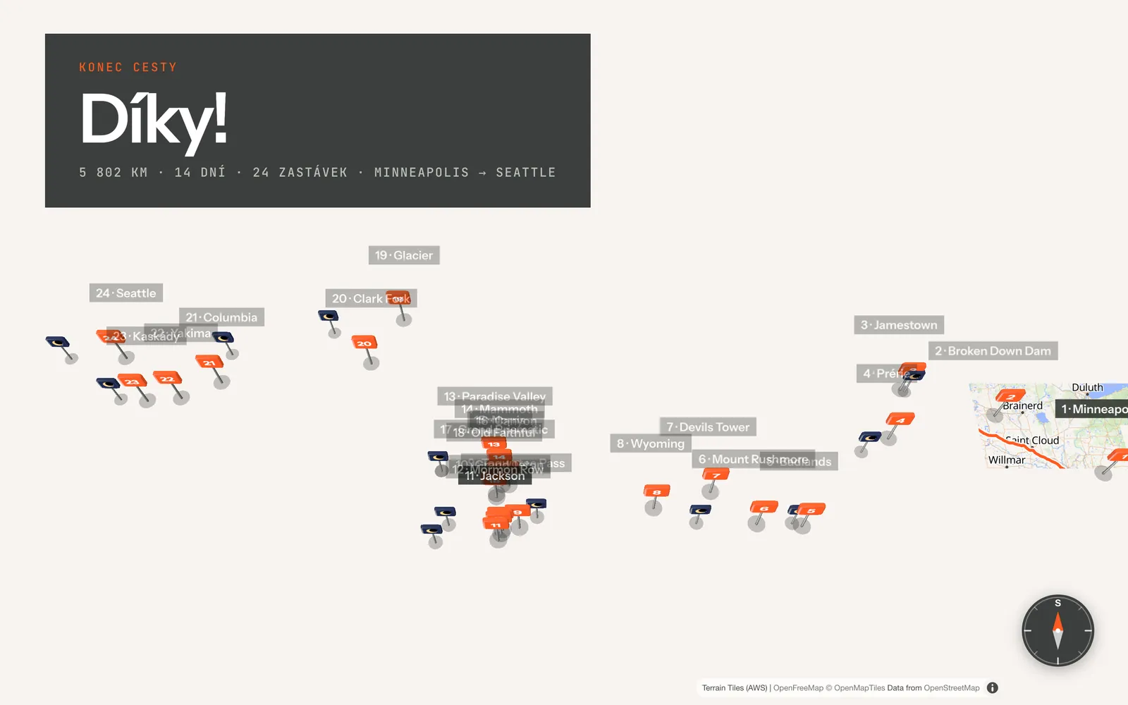
Final map – the whole trip at once with distance, days and all stops
Built with
- JavaScript
- MapLibre
- three.js
- OpenStreetMap
What I learned
- The drive animation must be shorter than the storytelling at the photos – otherwise the audience waits for the car.
- A phone GPS log has to be cleaned up and snapped to roads before presenting.
- A generic trip format (texts, stops and photos in one file) pays off with the second trip.
The presentation runs locally only, so there is no link.